
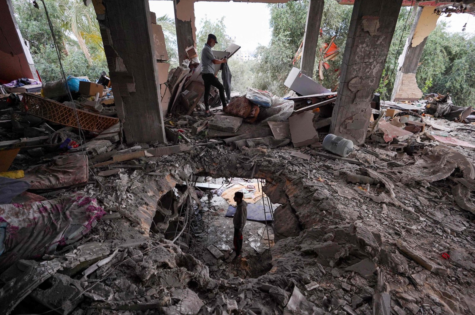
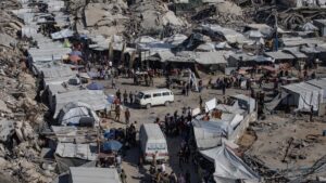
Approximately 55% of all buildings in the Gaza Strip have been destroyed, damaged, or possibly affected since the conflict began in the Palestinian territory eight months ago, according to initial satellite analysis by the U.N.
The analysis showed more than 137,000 buildings affected, UNOSAT, the United Nations satellite analysis agency, said on X, formerly Twitter.
The estimate is based on a satellite image taken on May 3, and compared with images taken in May a year earlier, last September, and on Oct. 15 – just over a week after Israel launched its war in response to the Oct. 7 Hamas incursion.
The fresh satellite image was also compared to images taken over several dates in November, then again during the first months of this year, UNOSAT said.
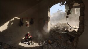
“According to satellite imagery analysis, UNOSAT identified 36,591 destroyed structures,” the agency said in a statement.
In addition, it said it had seen “16,513 severely damaged structures, 47,368 moderately damaged structures, and 36,825 possibly damaged structures for a total of 137,297 structures.”
“These correspond to around 55% of the total structures in the Gaza Strip and a total of 135,142 estimated damaged housing units,” it said.
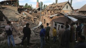
UNOSAT said the image comparisons showed the governorates of Deir Al-Balah, in the center, and Gaza, in the north, had suffered the worst damage between April 1 and May 3.
Comparing satellite images on those dates indicated that an additional 2,613 structures had been damaged in Deir Al-Balah, while another 2,368 had been damaged in Gaza governorate in just over a month.
Within Deir Al-Balah, the Nuseirat municipality suffered the greatest number of newly damaged structures during that period, at 1,216, UNOSAT said.
The agency stressed that the findings were still part of a preliminary analysis, which had yet to be validated in the field.


Be First to Comment